
Parcel 28-2N-25-0000-0002-0010
Owners
NIX BRIAN PRESTON
45193 BISMARK RD
CALLAHAN, FL 32011
Parcel Summary
| Situs Address | 45193 BISMARK RD |
|---|---|
| Use Code | 0200: MOBILE HOME |
| Tax District | 6: Drainage Dist |
| Acreage | 5.0000 |
| Section | 28 |
| Township | 2N |
| Range | 25 |
| Subdivision | |
| Exemptions | HX: Homestead (196.031(1)(a)) (100%) HB: Homestead Banded (196.031(1)(ab) (100%) |
Short Legal
PT OF GOVT LOT 1IN OR 1729/1821
PARCELS 2-1 & 3-1
Certified Values
| STANDARD | 2024 |
|---|---|
| Land Value | $80,000 |
| (+) Improved Value | $47,423 |
| (=) Market Value | $127,423 |
| (-) Agricultural Classification | $0 |
| (=) Assessed Value | $98,576 |
| (=) County Taxable Value | $48,576 |
Document/Transfer/Sales History
| Instrument / Official Record | Date | Q/U | V/I | Sale Price | Ownership |
|---|---|---|---|---|---|
| QC 2538/0203 | 2021-12-27 | U | Improved | $100 | Grantor: PAGE JOHN H Grantee: NIX SARAH ELIZABETH & BRIAN PRESTON |
| WD 1729/1821 | 2011-03-17 | U | Improved | $51,000 | Grantor: SECRETARY OF HOUSING & URBAN DEVELOPMENT Grantee: PAGE JOHN H |
| WD 1612/0254 | 2009-02-25 | U | Improved | $100 | Grantor: BANK OF AMERICA NA Grantee: SECRETARY OF HOUSING & URBAN DEVELOPMENT |
| CT 1572/1625 | 2008-06-19 | Q | Improved | $100 | Grantor: CLERK OF COURT Grantee: BANK OF AMERICA NA |
| SD 1568/1309 | 2008-05-28 | Q | Improved | $100 | Grantor: CLERK OF COURT Grantee: BANK OF AMERICA NA |
| PR 0876/0190 | 1999-03-25 | U | Improved | $100 | Grantor: PERKINS MARGARET P/R FOR SHERRY TETYAK ESTATE Grantee: KITCHENS ROBERT A & KATHRYN D |
| WD 0800/1611 | 1997-07-23 | Q | Improved | $77,300 | Grantor: PARKINS MARGARET INDIVIDUALLY AND AS P/R Grantee: KITCHENS ROBERT A & KATHRYN D |
| WD 0741/1562 | 1995-10-17 | Q | Improved | $100 | Grantor: TETYAK SHERRY LEE Grantee: TETYAK & PARKINS |
| WD 0585/0650 | 1989-12-08 | Q | Vacant | $32,500 | Grantor: SHADY GROVE DAIRY Grantee: TETYAK SHERRY L |
Buildings
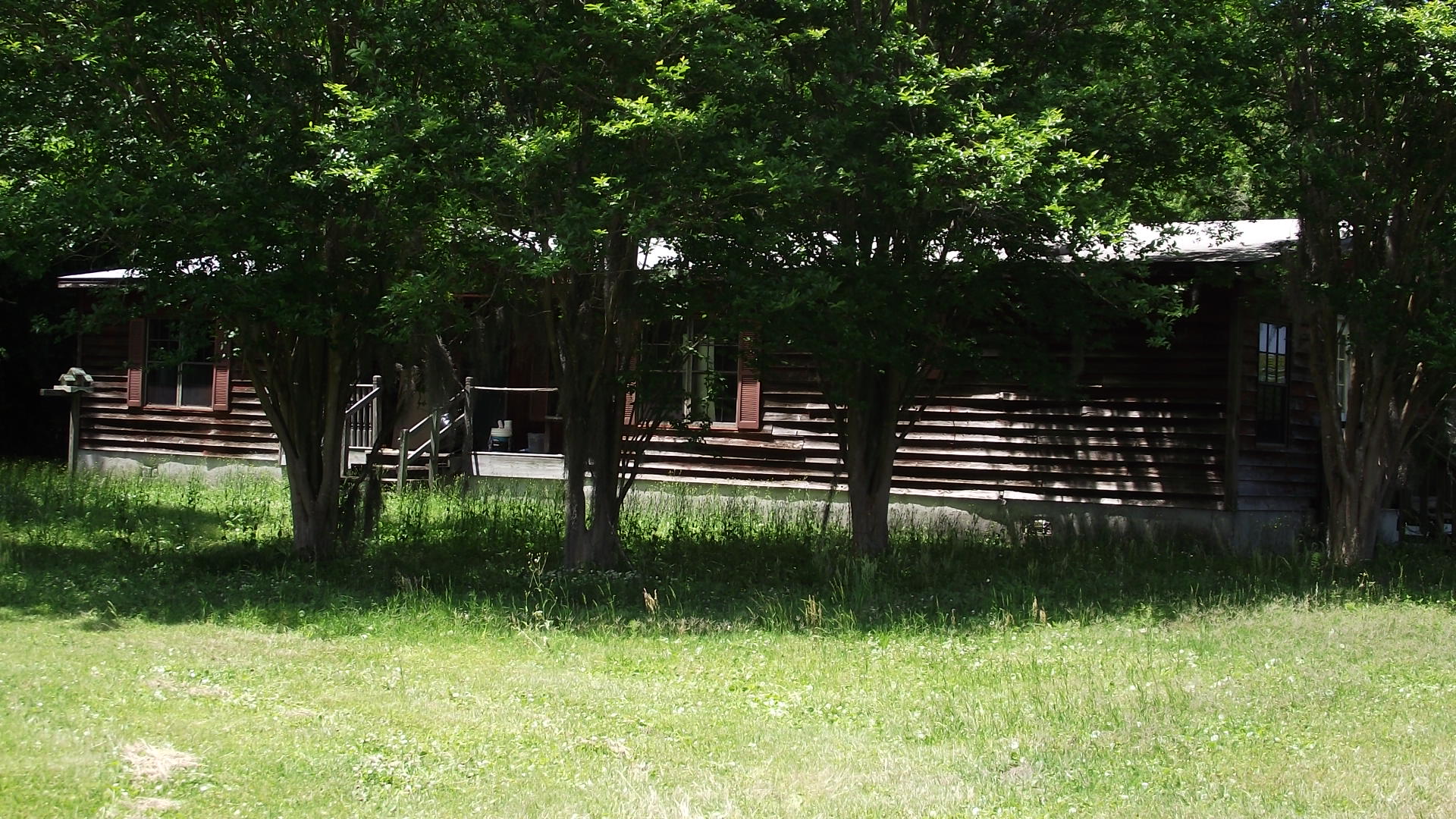
Building # 1, Section # 1, 44036, MOBILE HOME
| Heated Sq Ft | Year Built | Value |
|---|---|---|
| 1848 | 1990 | $54,198 |
Structural Elements
Land Lines
Personal Property
None
TRIM Notices
Property Record Cards
Disclaimer
The Nassau County Property Appraiser's Office makes every effort to produce the most accurate information possible. No warranties, expressed or implied, are provided for the data herein, its use or interpretation. The information contained herein is for ad valorem tax assessment purposes only. The Property Appraiser exercises strict auditing procedures to ensure validity of any transaction received and posted by this office but cannot be responsible for errors or omissions in the information received from external sources. Due to the elapsed time between transactions in the marketplace, and the time that those transactions are received from the public and/or other jurisdictions, some transactions will not be reflected.